


With all that gear strapped to my back, I was ready to set out...as soon as I took it off, so I could access my keys to lock the car!


On the South West side of the preserve is a trail that seems rarely trod by visitors to the island. Here, much of the trail is through scrub areas, and there appeared to be a few research projects. It gave me a chance to test out my hiking poles, and see some of the other vegetation on the island. The power plant can be observed from a few places across Riviera Bay.


 I stopped for lunch at a picnic area on Riviera Bay. Here, I watched a few pelicans dive for fish, found a few unfortunate horseshoe crabs, who had seen better days, and checked out the oysters around the kayak access points.


Much of the accessible trails on Weedon Island are well-packed paths, but some are sandy, and there are numerous boardwalks, which allow easy traversing through the mangrove tidal swamps. The Boy Scout Trail loops around a lake in the northern area of the park. It has a mix of loose and well packed trails and numerous foot bridges.


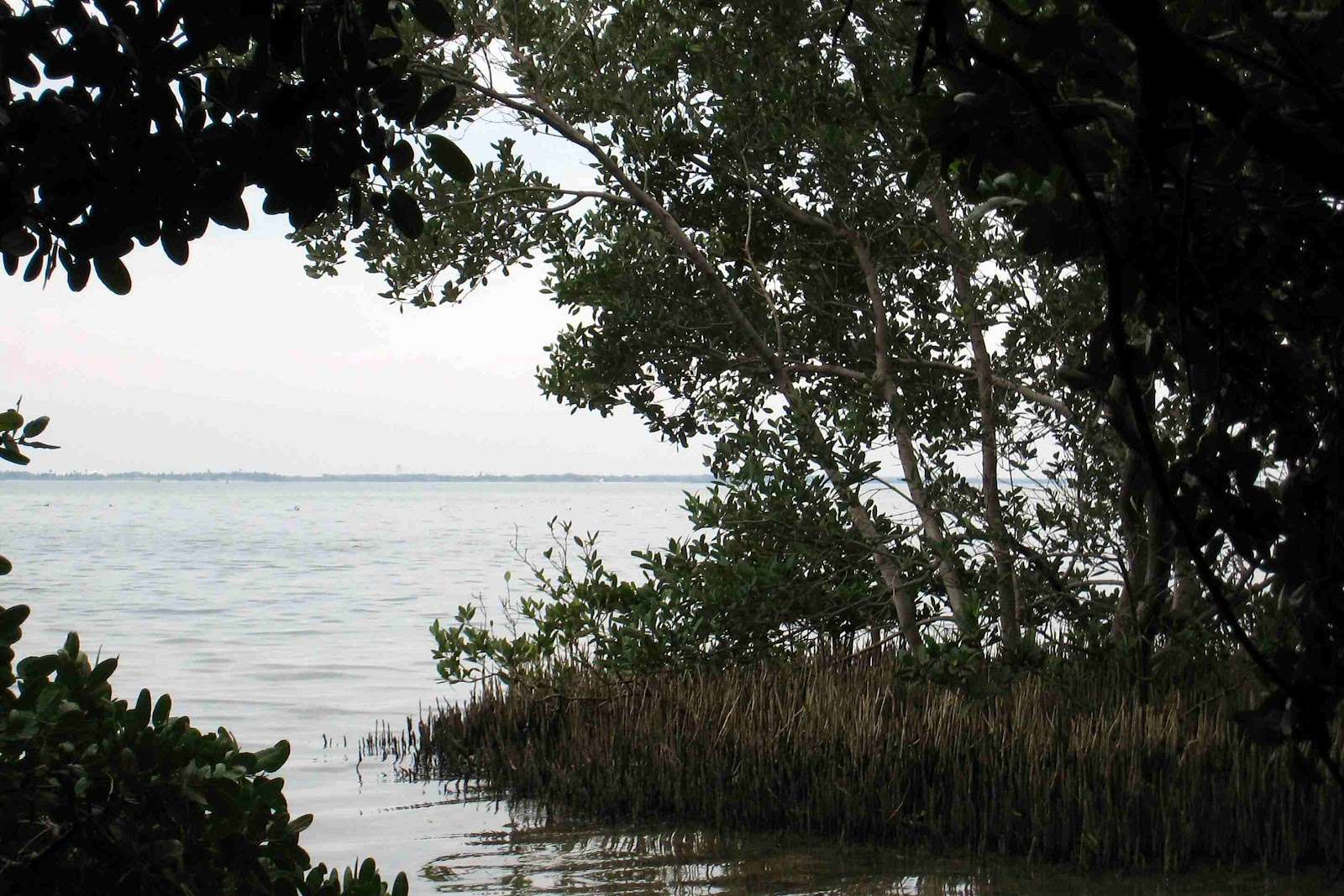
 Making your way back south, you find Lookout Point Trail. This long, straight trail feels like it is a narrow, dredged strip of land that cuts through the mangroves to a picnic area. As overgrown as this area is, it doesn't seem to fit it's name.
 At the south side of this picnic area is a very narrow, mucky path, leading into the heart of the mangrove swamp. I decided to see where it led to, hoping it would give me a viewing of a lake or inlet. It didn't, but I did find an old railroad tie, and someone's fishing spot, as well as a number of hermit crabs. This path disappeared at a small clearing, so it was time to turn around and head back, surprising a couple that had been to the picnic area, and was headed back down Lookout Point Trail.


The last trail to explore was Bay Boardwalk, which is a loop that goes around a small lake, and includes the Bay Overlook Platform, which was the nicest of all the outlooks. There were several water birds, including a flamingo. Unfortunately, because of the distance it was away from me, and the camera I had with me, though I got a picture of it, it's not worth sharing.


In between the two heads of the Bay Boardwalk is the largest campsite of the park. Here, there is also a nice opening for kayak launching.

Along the main path back to the visitor center, there is a line of scrub pines that stand where the old airport's runway once was. Next to the parking area is what remains of the control tower/waiting area for the airport.


 Just out of the gates to the park is the road to the Bartow Power Plant. On February 28, 2012, Progress Energy demolished the 3 300ft tall smoke stacks and steam houses that had long served it's steam powered plant, after switching to natural gas in 2009.
 I hope you've enjoyed Weedon Island!
The gear? All that got tested performed as well as I could ask for. The poles worked well, and the stashing loops on the pack made it easy to stow them when they weren't wanted. The hydration pack kept a nice, cold drink of water at very easy access, and held more water than I needed. It was still cool later that night, after I had gone home. The shoes held up to the walking, sand, and mud that covered them up to the ankle. They also cleaned up easily - since they're water proof, I waded into the kayak access at the campground, and most of the muck came off. Altogether, a very successful trip!
No comments:
Post a Comment